Maps & Directions
Find your way around Ocean City, Maryland. The following maps can provide helpful information about the area including the boardwalk, places to visit, points of interest, and nearby beaches.
Beach Bound? Know before you go! Traffic Cams & Traffic Map
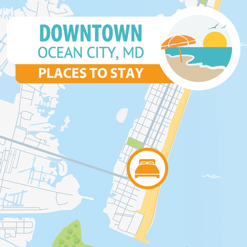
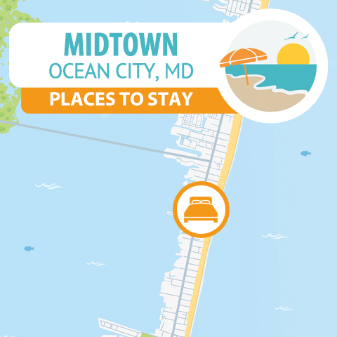
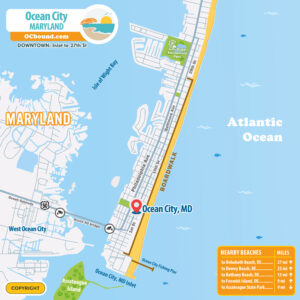
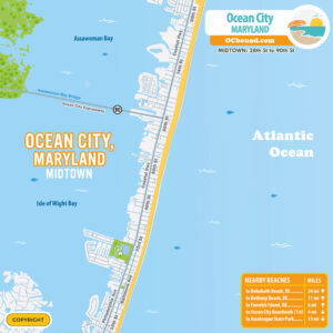
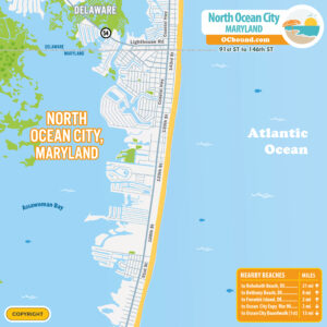
Ocean City, MD is made up of several unique areas. There’s Downtown, which stretches from the Inlet to 33rd St. and is bustling with activity and attractions along the boardwalk. Then you have Midtown, from 33rd St. to the Route 90 Bridge, blending a lively atmosphere with a bit more relaxation. Lastly, North Ocean City, from the Route 90 Bridge to the Delaware line, offers a quieter, family-friendly vibe. Across the bay, West Ocean City presents a more suburban, local experience, perfect for those looking to escape the hustle and bustle.
Ocean City, Maryland Maps
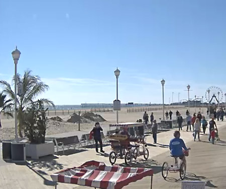
• Boardwalk | Inlet to 27th Street
• Downtown | Inlet to 33rd Street
• Midtown | 33rd St to 90th Street
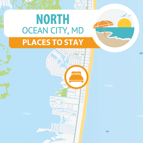
• North Ocean City | 90th St to 146th Street
• West Ocean City Located along U.S. Route 50 across the Harry W. Kelley Memorial Bridge.
Driving Directions to Ocean City, Maryland
Beach Bound? Know before you go! Traffic Cams & Traffic Map
ROUTE 50: To reach Ocean City, MD, your main route will be US Route 50 East. This highway takes you straight into the heart of the city, concluding at Maryland Route 528 (Coastal Highway). The exact path you take will vary based on where you’re starting along Route 50.
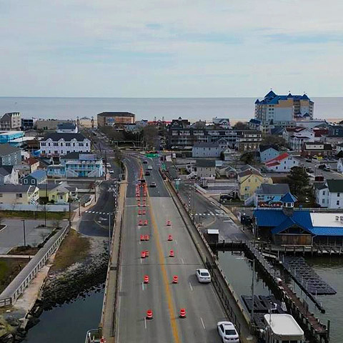
ROUTE 90: To arrive in North Ocean City, take Route 90, which links up with US-50, When you get to the US-50/Route 90 junction in Salisbury/Ocean City area, take the exit for MD Route 90 East (Ocean Gateway) towards Ocean City. The Route 90 Bridge (MD-90) brings you directly into the middle of Ocean City, MD, landing you near 62nd Street.
ROUTE 54: If you’re heading along Route 54 (MD-DE) close to the Delaware/Maryland border, it’s an easy drive that leads you directly to Fenwick Island, DE. Just keep heading south on Coastal Highway, and you’ll find yourself in Ocean City, Maryland shortly after.
| To / From | Miles | Time |
|---|---|---|
| Baltimore, MD | 145 Miles | 3 Hours |
| Boston, MA | 450 Miles | 7-8 Hours |
| Cincinnati, OH | 645 Miles | 10-11 Hours |
| Cleveland, OH | 490 Miles | 8 Hours |
| Columbus, OH | 510 Miles | 8-9 Hours |
| Harrisburg, PA | 200 Miles | 4-5 Hours |
| New York, NY | 240 Miles | 4-5 Hours |
| Philadelphia, PA | 150 Miles | 3 Hours |
| Pittsburgh, PA | 380 Miles | 6-7 Hours |
| Reading, PA | 175 Miles | 3-4 Hours |
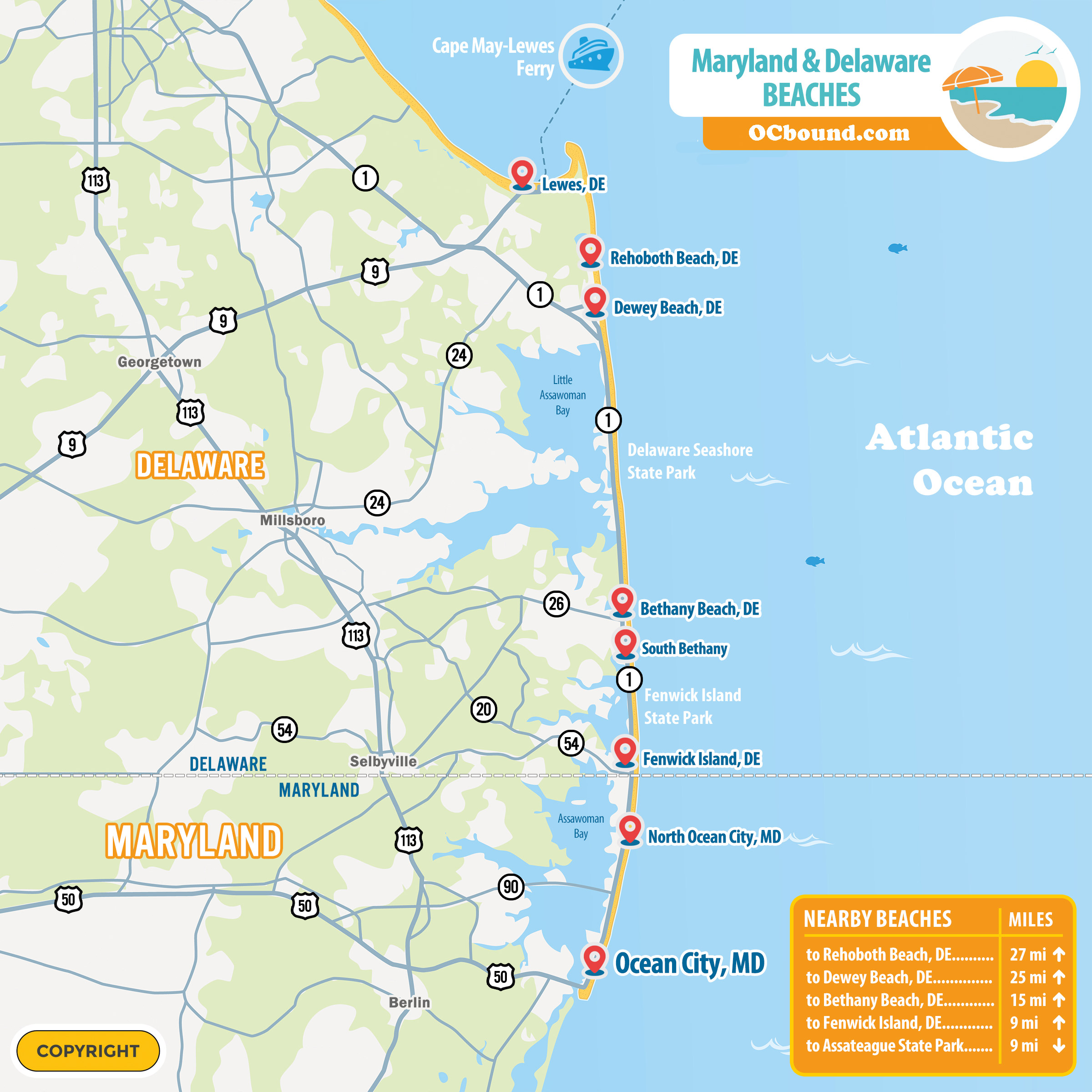
| Rehoboth Beach, DE | 25 Miles | 1 Hour |
| Richmond, VA | 225 Miles | 4-5 Hours |
| Washington DC | 145 Miles | 3 Hours |