Maps & Beaches
Find your way around Ocean City, Maryland. The following maps can provide helpful information about the area including the boardwalk, places to visit, points of interest, and nearby beaches.
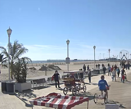
• Boardwalk | Inlet to 27th Street
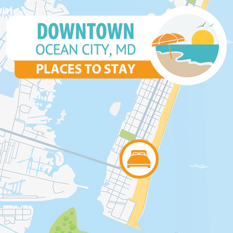
• Downtown | Inlet to 33rd Street
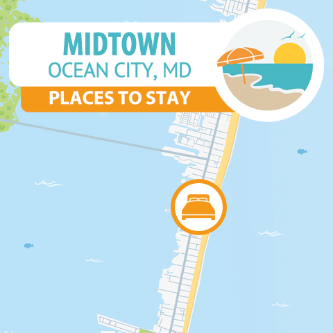
• Midtown | 33rd St to 90th Street
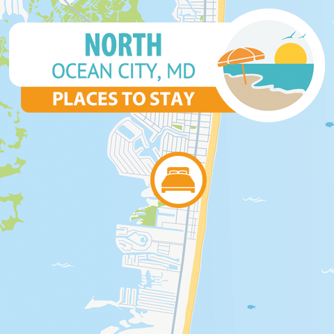
• North Ocean City | 90th St to 146th Street
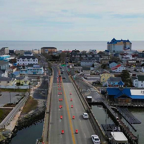
• West Ocean City Located along U.S. Route 50 across the Harry W. Kelley Memorial Bridge.
Ocean City, MD Maps
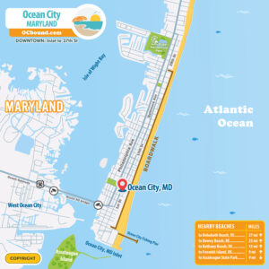
Map of Downtown Ocean City, Maryland
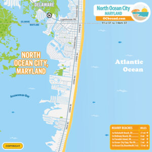
Map of North Ocean City, Maryland
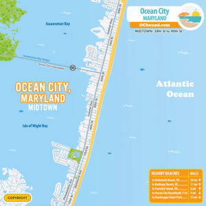
Map of Midtown Ocean City, Maryland
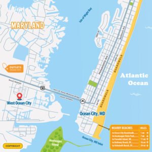
Map of West Ocean City, Maryland
| To / From | Miles | Time |
|---|---|---|
| Rehoboth Beach, DE | 25 Miles | 45 Minutes |
| Baltimore, MD | 115 Miles | 3 Hours |
| Boston, MA | 425 Miles | 7.5 Hours |
| Cincinnati, OH | 635 Miles | 10-11 Hours |
| Cleveland, OH | 490 Miles | 8 Hours |
| Columbus, OH | 530 Miles | 9 Hours |
| Harrisburg, PA | 170 Miles | 4 Hours |
| New York, NY | 215 Miles | 4 Hours |
| Philadelphia, PA | 125 Miles | 3 Hours |
| Pittsburgh, PA | 360 Miles | 6.5 Hours |
| Reading, PA | 145 Miles | 3.5 Hours |
| Richmond, VA | 235 Miles | 4.5 Hours |
| Washington DC | 125 Miles | 3 Hours |